The Karakoram Highway Road Trip: Islamabad to Khunjerab

Pakistan Locals Team
1 August 2026 · 5 min read
At a glance
- Location
- Karakoram Highway
- Region
- Gilgit-Baltistan
- Best time
- May to October; Babusar Pass usually opens mid-June and closes with the first heavy snow
- Duration
- 7 to 12 days one way, more for a round trip
- Altitude
- from 500 m to 4,733 m at Khunjerab Pass
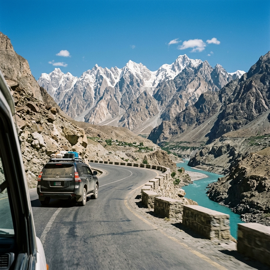
They call the Karakoram Highway the eighth wonder of the world, and once you have driven it you will not argue. It climbs from the plains near Islamabad, follows the Indus into the heart of the greatest mountains on earth, and ends at the Chinese border on the highest paved pass in the world. Doing it as a road trip is one of the all-time great travel experiences, full stop. This guide plans it for you, stop by stop, with the honest practical detail you actually need.
What this drive is really about
The joy of the KKH is not getting to the end fast. It is stopping. It is a roadside cup of chai with a 7,000 metre peak behind it. It is a night in an orchard, a walk to a glacier, a wobbly suspension bridge, a village where the whole family waves. If you rush it in three or four days, you will just be tired and see it through glass. Give it room, and it becomes the trip of a lifetime.
The route in one glance
The KKH runs roughly 1,300 km from near Islamabad to the Khunjerab Pass (4,733 m) on the China frontier. The classic road trip goes: Islamabad, up to Naran, over Babusar Pass into Gilgit-Baltistan, on to Chilas, past Nanga Parbat, through Gilgit and Hunza, and finally up to Khunjerab. You can do it one way and fly back from Gilgit or Skardu, or drive the whole thing as a round trip.
Two ways north: Babusar or Besham
- The Babusar route (summer only). Islamabad to Naran to Babusar Pass (4,173 m) and down to Chilas. This is the shorter, prettier way, but the pass is only open roughly mid-June to October, snow permitting.
- The Besham route (all year). Islamabad along the Indus via Besham and Dasu to Chilas. Longer and in parts rougher, but it stays open when Babusar is shut, so it is the winter and shoulder-season option.
The big stops, in order
- Naran and Lake Saif ul Malook. The classic first-night halt, with a jeep trip up to the famous lake. See our full Naran Kaghan guide.
- Babusar Top (4,173 m). Get out, breathe the thin air, and take in the view. It is cold even in summer.
- Chilas. A practical overnight town, hot in summer. Most people just sleep and move on.
- Nanga Parbat viewpoint. Near Raikot Bridge, the launch point for Fairy Meadows, with the ninth-highest mountain on earth right there.
- Rakaposhi view at Minapin. A roadside cafe with a jaw-dropping view of the 7,788 m giant. A perfect chai stop.
- Hunza. Base here for a few days: Baltit and Altit forts, Attabad Lake, the Passu Cones. Our Hunza guide has it all.
- Khunjerab Pass (4,733 m). The grand finale on the China border. Go slow at that height, and enjoy the marmots.
How many days you really need
Do not rush it. A comfortable one-way trip from Islamabad to Khunjerab and back to Gilgit for a flight home needs about 7 to 9 days. Add Skardu and Deosai and you are looking at 10 to 14. A sample flow: two days to reach Hunza with a night in Naran and a night near Chilas, three or four days in and around Hunza including Khunjerab, then either fly out of Gilgit or continue to Skardu.
Driving and transport
You have three options. Drive your own car, ideally a sturdy, high-clearance one. Hire a car with a local driver, which is the stress-free choice and highly recommended if you do not know mountain roads. Or ride the reliable NATCO and private coaches for the long legs and arrange local jeeps for side trips like Khunjerab and Fairy Meadows. Fuel up whenever you can north of Gilgit, drive only in daylight, and never hurry a blind mountain bend.
The practical stuff: permits, SIM, cash, health
No permits are needed for the KKH or Khunjerab, just carry ID for the checkpoints. For phones, SCOM works best in the high valleys, with Zong okay in the towns; buy a SIM in Gilgit or Karimabad. ATMs basically stop after Gilgit, so carry enough cash for the whole trip. At Khunjerab and Babusar you are above 4,000 metres, so go slow, drink water, and do not sleep at the very top. And build in a spare day, because weather and landslides can close the road without warning.
The honest truth
The KKH is safe and stunning, but it is a long, high mountain road. There will be rough patches, dust, and the odd delay for roadwork or a landslide. Flights to and from Gilgit and Skardu are moody about weather, so never book a tight connection. Plan loosely, keep a buffer day, and let the road surprise you. That flexibility is the difference between a stressful drive and the trip you talk about for years.
Turn the drive into real stops you can book. Base in Hunza or Skardu, browse everything across Gilgit-Baltistan, or search experiences on the map. Plan the timing with our month-by-month guide.
Written and fact-checked by the Pakistan Locals editorial team, with local hosts and guides who drive the Karakoram Highway every season. Last updated August 2026. Passes open and close with the snow, so check road status close to your travel dates.
Sources and further reading
Ready to explore Pakistan with local hosts? Browse trips and experiences on Pakistan Locals, and if you live in the area you can list your own experience or stay. Read our Hunza valley travel guide and best time to visit next.
Questions people ask
How long does the Karakoram Highway road trip take?+
Islamabad to Hunza is two days with photo stops. Allow a week or more to reach Khunjerab Pass and enjoy the valleys along the way.
When does Babusar Pass open?+
Usually from mid June until the first heavy snow in autumn. Outside that window you route through the Lowari and lower KKH instead.
Is the Karakoram Highway safe to drive?+
The road is paved and well travelled, but landslides and weather can close sections in season, so drive by day and keep your plans flexible.
How high is Khunjerab Pass?+
It reaches 4,733 m, one of the highest paved border crossings in the world. Take altitude seriously on the day trip up.
Can you drive to the Chinese border?+
Yes, up to Khunjerab Pass. Crossing into China itself needs separate arrangements.
Self-drive or hire a driver?+
A local driver is far less stressful unless you are experienced on mountain roads.
Pakistan Locals Team
The Pakistan Locals editorial team writes practical, on-the-ground travel guides to Pakistan, researched and fact-checked in consultation with our network of local hosts and guides.